Best Hikes near Seattle Locals Recommend
Fourteen trails a longtime local reporter actually returns to, sorted by how much daylight and patience you've got, plus what nobody tells you about parking.
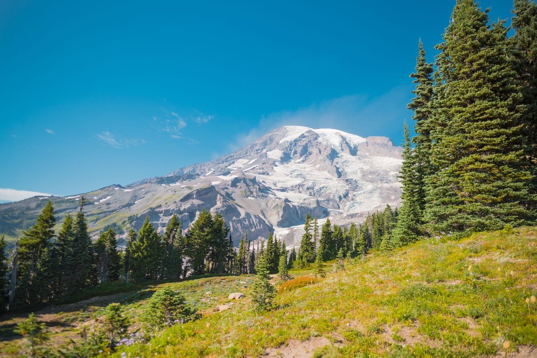
By six-fifteen on a clear Saturday, the gravel lot at the Rattlesnake Lake trailhead is already three-quarters full. Hatchbacks are nosed in at odd angles, dogs are pacing on leashes, and someone's kid is still finishing a granola bar in the back seat. This is the unglamorous truth behind most of the best hikes near Seattle: the mountain doesn't care what time you show up, but the parking lot absolutely does. I've spent the better part of two decades covering this region for a living, and the trails I keep coming back to aren't secret. They're just better used when you know a few things going in, starting with the fact that on a clear morning someone in that lot will look east, nod once, and say the mountain is out, and everyone will know exactly which mountain and exactly why it matters.
The Best Hikes Near Seattle, Sorted by How Much Time You Actually Have
Seattle's hiking geography breaks down into a few distinct zones, and knowing which one fits your morning saves a lot of wasted driving. There's the city itself, where a real trail is closer than most visitors assume. There's the Issaquah Alps, the low green humps of Tiger, Cougar, and Squak Mountains that locals treat like a backyard gym. There's the I-90 corridor and greater Snoqualmie region, which absorbs the bulk of weekend traffic and rewards anyone willing to go early or go on a weekday. And there's the Highway 2 and Mountain Loop stretch further north, quieter, a bit more remote, and worth the extra twenty minutes in the car.
In the City: When a Full Day Isn't in the Cards
Discovery Park Loop Trail
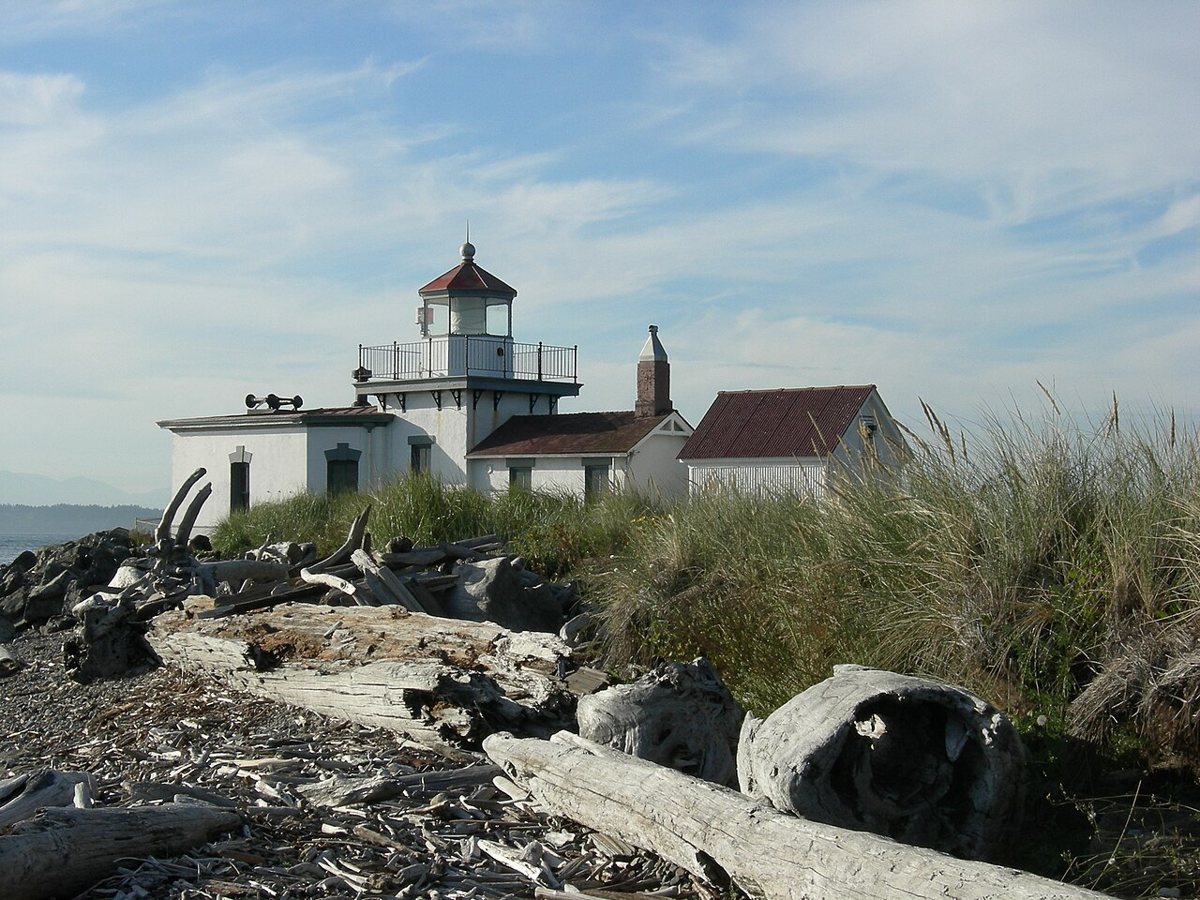
Discovery Park sits on a bluff at the end of Magnolia, and its loop trail is the closest thing Seattle has to a genuine hike within city limits. The full loop winds through second-growth forest, opens onto windswept meadows, and eventually drops toward the beach near the West Point Lighthouse, with views across the Sound to the Olympics on a clear day. It's a few miles of real elevation change, enough to get your heart rate up without requiring a car trip. Locals use it as a training loop before bigger weekend hikes, and on a weekday morning you'll share it with more off-leash dogs than people. Park in the main lot near the visitor center and grab a trail map, since the network of connector paths can be confusing the first time through.

If you'd rather stay flatter and skip elevation gain entirely, an in-city green space like Green Lake or the Burke-Gilman Trail is the honest answer for a recovery day, and nobody here will think less of you for choosing it.
The Issaquah Alps: Tiger, Cougar, and Squak
Poo Poo Point on Tiger Mountain
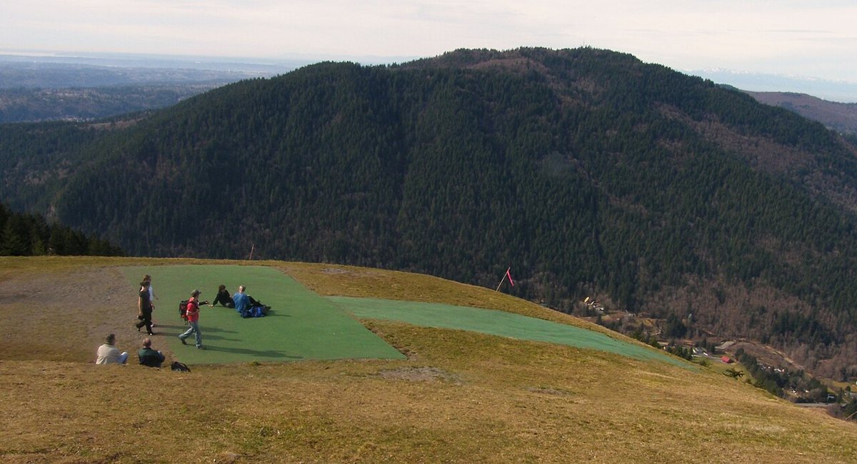
The name gets a laugh every time, but the hike itself is one of the more rewarding half-day efforts close to the city. The main route climbs a steady set of switchbacks, sometimes called the chutes, through second-growth forest before opening onto a grassy launch point where paragliders take off on breezy afternoons. From the top you get a wide view down into the Issaquah valley and out toward Lake Sammamish. It's a solid climb, more strenuous than it looks on a map, and it's popular enough that the trailhead lot off Issaquah-Hobart Road fills fast on weekend mornings. Go on a weekday if you can, or arrive before nine.

Cougar Mountain's Forest and Wetland Loops
Cougar Mountain Regional Wildland Park is the quiet cousin in the Issaquah Alps family, a sprawling network of interconnected trails through second-growth forest, old coal-mining remnants, and a few wetland boardwalks. There's no single summit view to chase here, which is precisely why it stays calmer than Tiger even on a sunny Saturday. You can string together a short loop or a half-day wander depending on which trailhead you pick, and the Sky Country and Red Town entrances both offer good starting points. If Cougar feels crowded, neighboring Squak Mountain almost never does, and its forested trails make a fine backup plan for anyone who wants trees and quiet more than a payoff view.
The I-90 Corridor: Best Hikes Near Seattle for the Classic Views
This stretch, roughly from North Bend through Snoqualmie Pass, holds the trails that show up on every out-of-town visitor's list, and for good reason. It's also where the parking-lot math gets serious, since several of these trailheads fill by mid-morning on any weekend with decent weather. String two or three of these together and you've got a full day out of the city without ever touching a summit above tree line.
Rattlesnake Ledge
Rattlesnake Ledge is probably the single most photographed viewpoint within an hour of Seattle, and the reason is obvious once you're standing on the rock slab looking down at Rattlesnake Lake and out toward the Cedar River watershed. The climb up is short by regional standards, a few miles round trip through forest before the switchbacks open onto the ledge itself. Its accessibility is exactly why it draws the crowds it does. Go at first light on a weekday if solitude matters to you, and know that the ledge itself has no guardrail, so keep kids and dogs close.

Mount Si
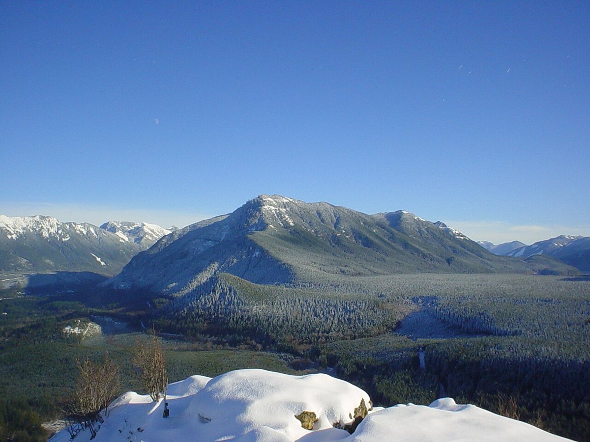
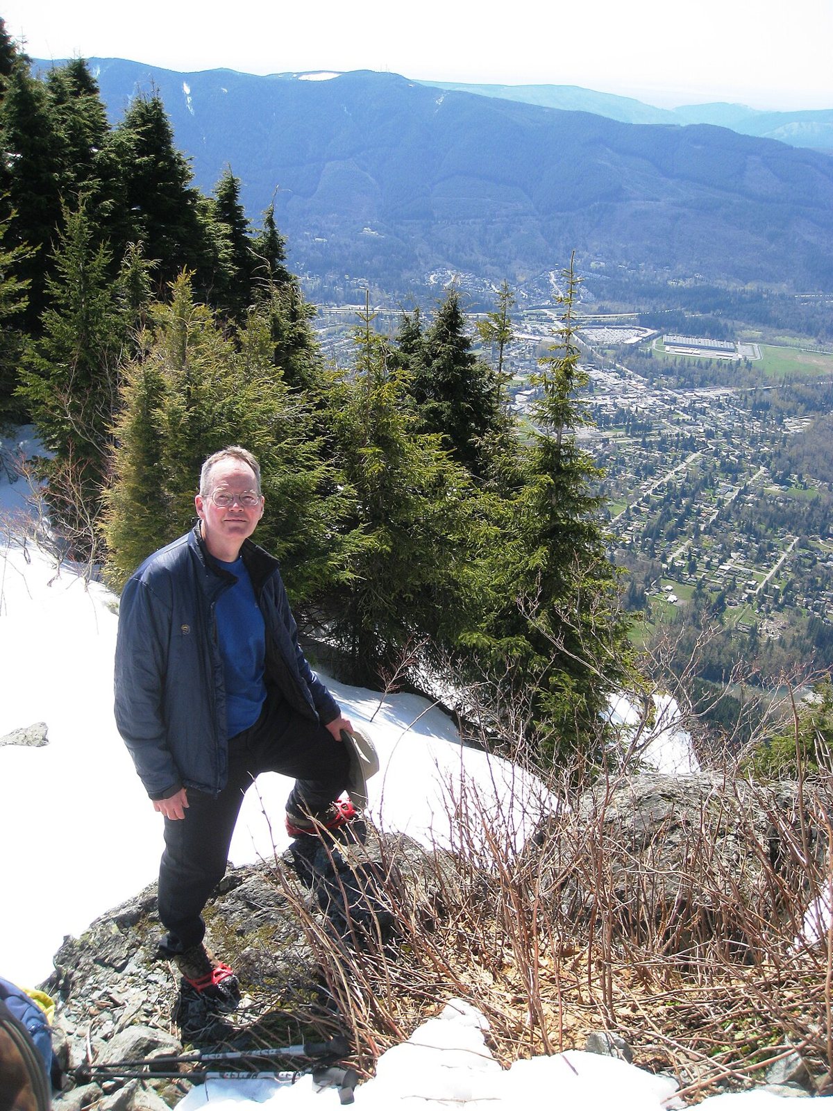
Mount Si is the trail generations of Seattle hikers have used to train for bigger mountains, and it shows in the crowd it draws. It's a long, steady climb through dense forest, roughly eight miles round trip with real elevation gain, ending near a rocky area called the Haystack with views over North Bend and the Snoqualmie Valley. The lower trail is well-graded but relentless, without much flat ground to recover on. Weekday mornings are far more pleasant than weekend afternoons, when the lot off Mount Si Road overflows onto the shoulder.

Little Si
Little Si sits just across the valley from its bigger sibling and offers a gentler few miles round trip, making it the better choice for a first-timer, a family outing, or an evening hike after work. There's rock scrambling near the top that climbers use for practice, and the forest along the way feels lush even in late summer. It shares a general parking area with Mount Si access roads, so arrive early on weekends regardless of which trail you're aiming for.
Mailbox Peak
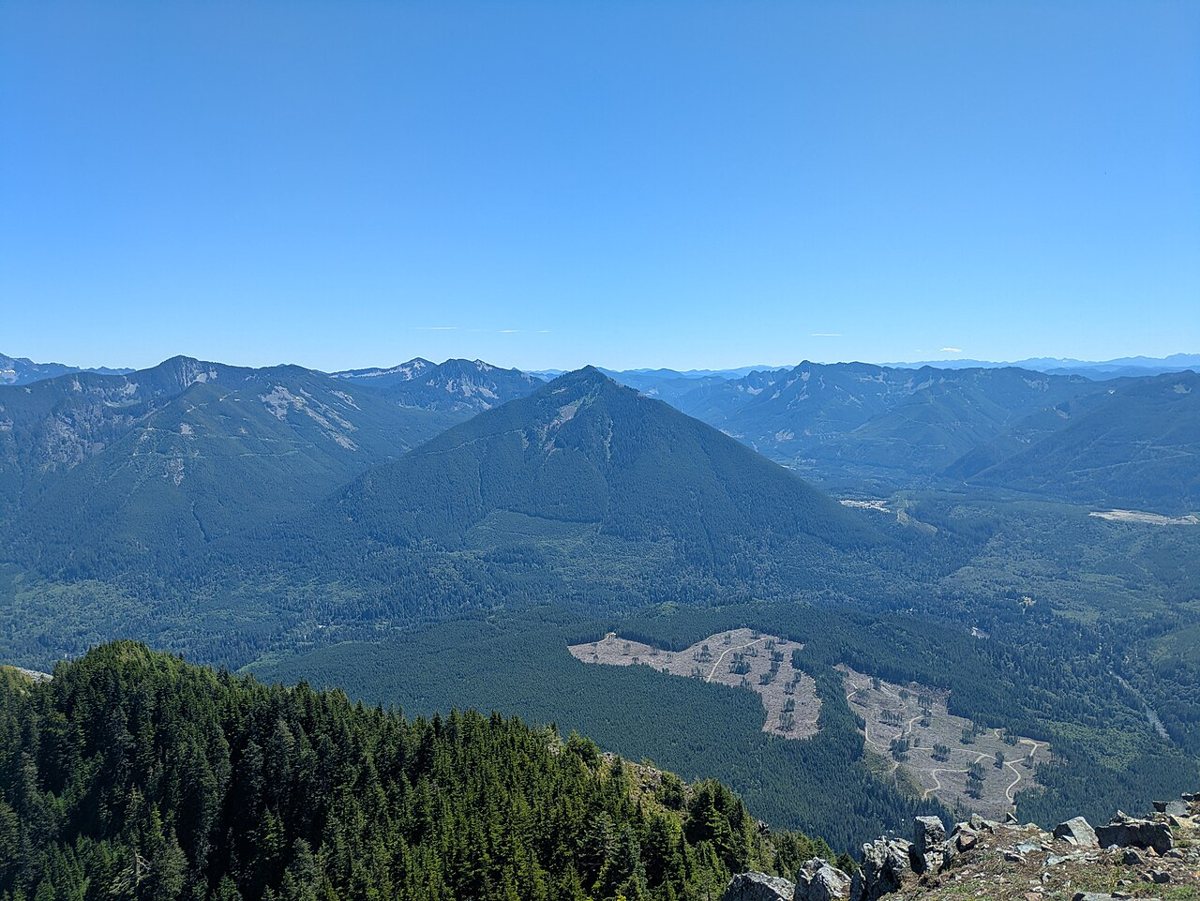
Mailbox Peak has a reputation, and it's earned. The old trail is a relentlessly steep, root-strewn climb that longtime hikers still talk about with a mix of pride and dread, while a newer, more graded route offers a somewhat gentler ascent to the same alpine summit, marked famously by a mailbox where hikers leave notes. Either way it's a serious effort, among the steepest maintained climbs in the area, with sweeping views once you clear the trees near the top. This is not a casual outing. Bring more water than you think you need, and check current trail conditions before you go, since snow can linger into late spring.

Twin Falls at Olallie State Park
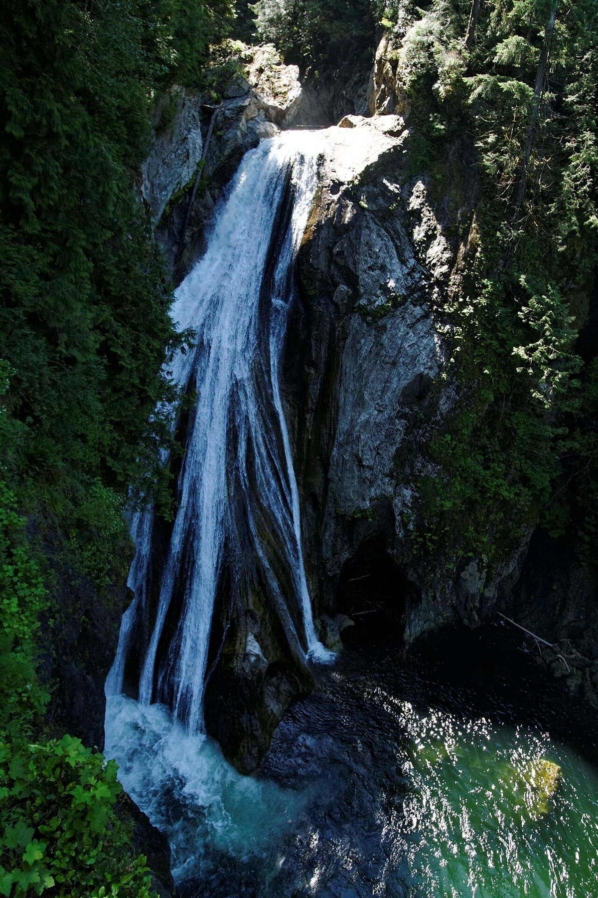
Twin Falls is the trail I recommend to anyone traveling with kids or a hiking-averse relative. The path follows the South Fork Snoqualmie River through old-growth forest to a viewing platform overlooking a two-tiered waterfall, with a shorter round trip than most of its I-90 neighbors and far less elevation gain. It's popular for exactly that reason, so the small trailhead lot at Olallie State Park fills quickly, but the payoff, standing above a genuinely dramatic waterfall after a manageable walk, makes it worth the wait or the early start.

Franklin Falls
Franklin Falls, just off the freeway near Snoqualmie Pass, is about as low-effort as a genuine waterfall hike gets in this region. A short, mostly flat gravel path leads to a wide, misty falls that's especially striking in cooler months when volume is up. It's an easy add-on if you're already out that way, and it's one of the few hikes on this list where you'll see people in regular sneakers without judgment.
Snoqualmie Falls
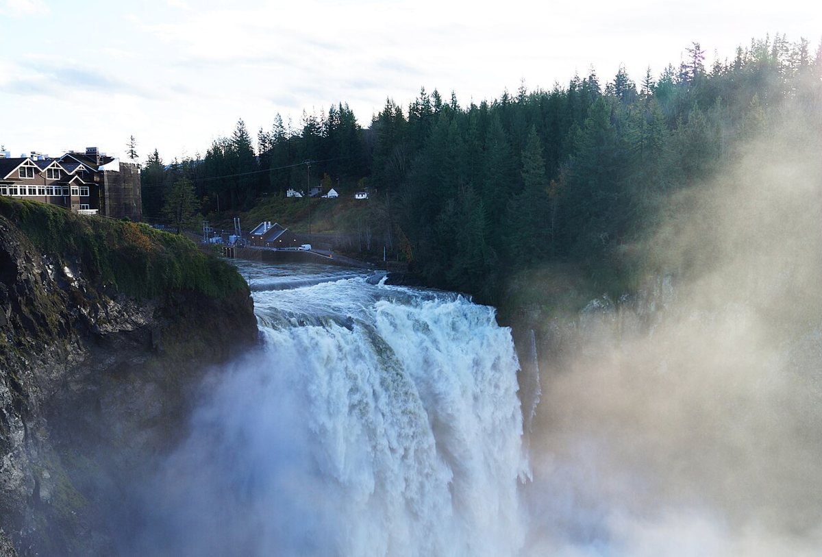
Snoqualmie Falls is less a hike than a destination with a hiking option attached, and that's fine. Most visitors take the short paved path from the lodge area to the main overlook, which takes only minutes and delivers among the most reliably impressive waterfall views in the state. For a bit more effort, a steeper trail continues down toward the river at the base of the falls, giving you a different angle and a quieter crowd once you're below the main viewing deck. It's an easy stop to fold into a longer day along the corridor, and it's genuinely worth doing even with visiting relatives who claim they don't hike.

Highway 2 and the Mountain Loop: Worth the Extra Drive
Head north instead of east and the crowds thin out considerably, even though the scenery holds up. This stretch, running along Highway 2 toward Stevens Pass and up into the Mountain Loop Highway near Verlot, rewards anyone willing to add twenty or thirty minutes of driving to their morning.
Wallace Falls
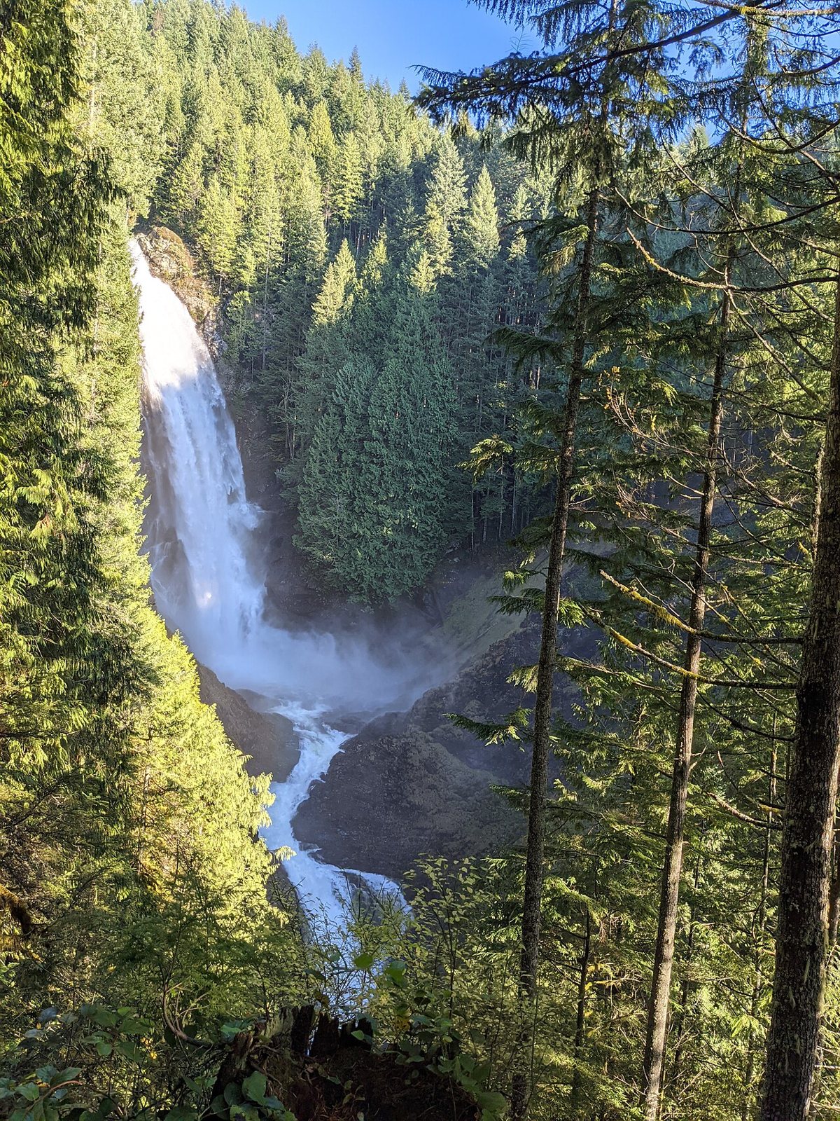
Wallace Falls, near the small town of Gold Bar, climbs through dense forest past a series of waterfall tiers before reaching a viewpoint at the upper falls. It's a moderate effort, longer than the I-90 waterfall hikes but not nearly as punishing as Mailbox Peak, and the payoff comes in stages rather than all at once, which makes it feel less like a slog. Fall and spring, when water volume is highest, are the best times to see it at its most dramatic.

Lake Serene
Lake Serene is a steady, sometimes steep climb off Highway 2 that ends at a genuinely alpine-feeling lake tucked beneath the cliffs of Mount Index. The middle section includes a set of switchbacks that will slow most hikers down, but the lake itself, still and framed by rock walls, is the kind of place that makes people go quiet for a minute before reaching for their phone. This one demands real fitness and a full morning or afternoon. Trailhead parking off the Mount Index Road can be tight, so a weekday visit is noticeably calmer.
Heybrook Lookout
Heybrook Lookout is the best return on effort in this entire guide. A short, steep push through forest near the town of Index leads to a historic fire lookout tower, and climbing the last flight of stairs to its deck delivers a view of Mount Index and the Skykomish valley that feels disproportionate to how little time you spent getting there. It's a great option when you have an hour or two rather than a full day, and it pairs naturally with a stop at nearby Lake Serene if you've got more time to spend.

Mount Pilchuck
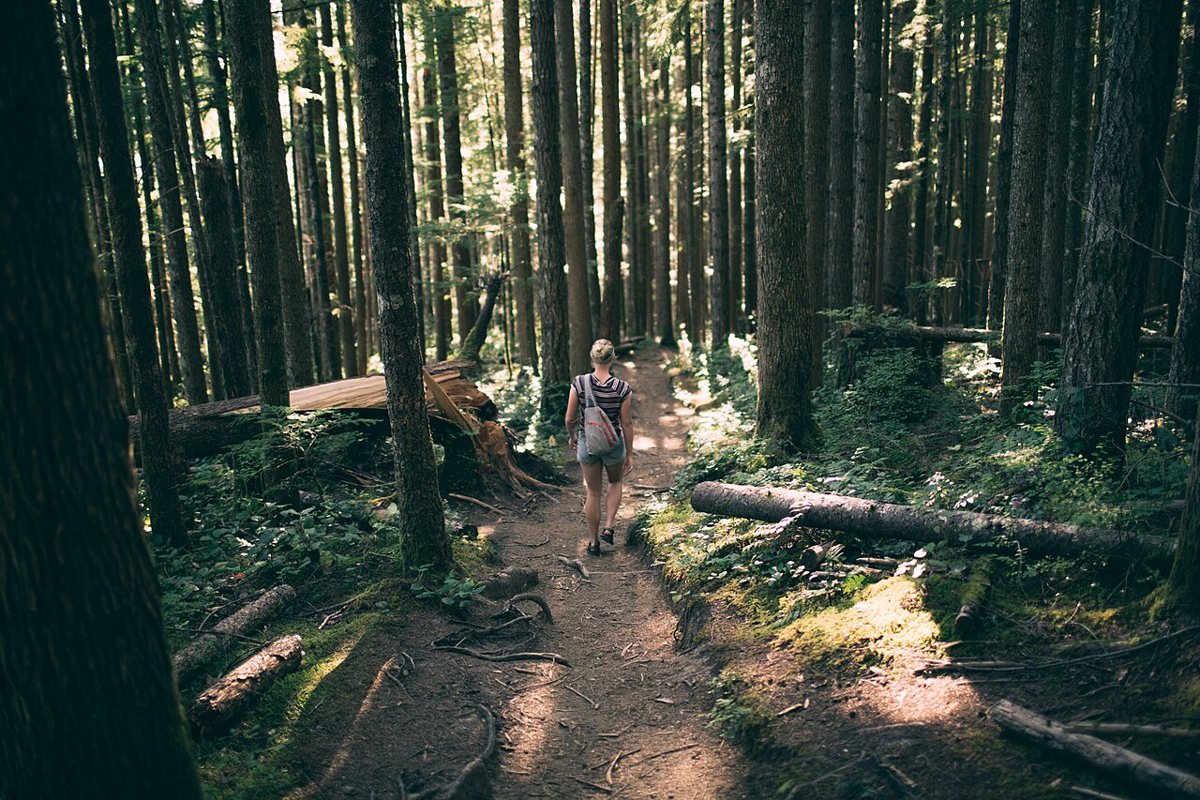
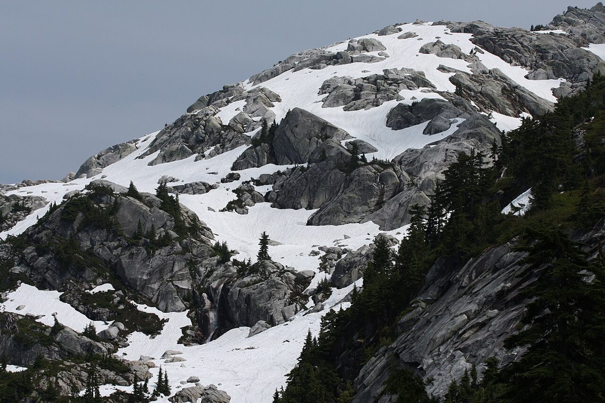
Mount Pilchuck, reached off the Mountain Loop Highway near Verlot, is the most genuinely alpine hike on this list within a reasonable driving distance of Seattle. The trail climbs through subalpine forest and rocky terrain before a bit of scrambling near the summit, where a restored fire lookout still stands. On a clear day the view stretches across the Cascades and out toward the Olympics, and snow can linger on the upper mountain well into summer, so check current trail conditions before committing to the scramble section.

What to Know Before You Go
Most trailheads in this region require some kind of pass. State parks and many state-managed trailheads, including several mentioned above, require a Discover Pass, while trails on national forest land typically require a Northwest Forest Pass instead, and a few, like Rattlesnake Ledge, require nothing at all. Check the specific trailhead before you drive out, since the fine for a missing pass is not worth the savings. Buy an annual pass if you plan to hike more than a couple of times a season.
Timing matters more than gear for most of these trails. Arrive before nine on weekends if you want an actual parking spot anywhere on the I-90 corridor, and consider a weekday altogether if your schedule allows it. Trail conditions shift fast at elevation here, so a trail that's dry and dusty at the base can still hold snow or mud higher up well into what feels like summer in the city. Layer up, check current conditions before you go, and don't assume the forecast in Seattle matches the forecast at a trailhead a thousand feet higher.
Trail etiquette isn't optional in a region this popular. Stay on the established path even when it's muddy, since stepping around puddles widens trails and damages the surrounding understory over time. Yield to hikers coming uphill, keep dogs leashed where it's required, and pack out everything you bring in, including fruit peels and dog waste bags. These trails see heavy use, and the reason they still feel worth visiting is that most people treat them with some care.
- Carry the Ten Essentials even on short hikes: navigation, headlamp, sun protection, first aid, a knife, fire-starting material, emergency shelter, extra food, extra water, and extra layers.
- Tell someone your planned route and expected return time before you head out, especially for the longer climbs like Mailbox Peak or Lake Serene.
- Cell service is unreliable or nonexistent at most of these trailheads, so download offline maps in advance.
- Weekday mornings are consistently the best window for avoiding both crowds and parking headaches across nearly every trail on this list.
The One I'd Send You On
If someone visiting Seattle for the first time asked me to pick just one, I'd send them to Rattlesnake Ledge early on a weekday, not because it's the most difficult or the most remote, but because it delivers the clearest sense of why people who live here structure their weekends around getting outside. It's close, it's manageable, and the view is the kind that makes a person stop talking for a second. But the trail I actually return to on my own quiet mornings is Cougar Mountain, precisely because it asks nothing of me except time in the trees. For a bigger outing, pair it with a full day out of the city, or on a tired morning settle for an in-city green space instead. Seattle's outdoor culture isn't about chasing a summit for a photo. It's about knowing which trail fits the morning you actually have, and having enough of them nearby that you never run out of reasons to go back.